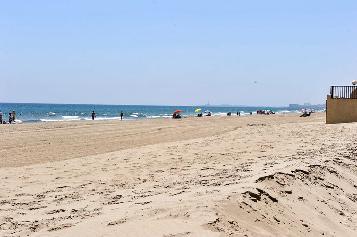
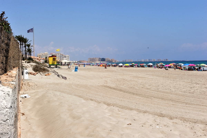
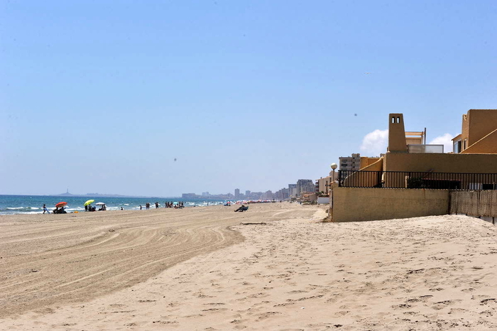
Playa El Pedrucho, a popular Mediterranean beach in the San Javier section of La Manga

3 kilometres of open, sandy Mediterranean beach in La Manga
Playa Pedrucho is a vast Mediterranean coastal beach, offering 3 kilometres of unbroken sand, and averaging 18 metres in width, and should not be confused with Playa de Pedruchillo, which lies on the other side of La Manga on the shore of the Mar Menor.
The beach runs between kilometres 4.9 and 7.9 of La Manga in an area where the spit of land widens out sufficiently to have allowed the construction of substantial blocks of residential apartments on both sides, with the Gran Vía running up the centre of the land. The main residential areas using this beach are the urbanisations between Castillo El Mar and Hawaí 5.
The beach is ahuge expanse of fine golden sand, and due in part to the fact that on the western side of La Manga at this point the beach is very slender, occupation tends to be high. Nonetheless, so large is El PEdrucho that it can rarely be said to be crowded.
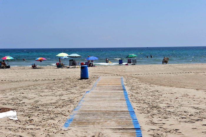
Services and facilities include toilets, footwashes, telephone, beach grooming service, bins, lifeguard services, wooden walkways, sporting equipment, longer and sunshade hire and "chiringuito" beach bars, and there are also plenty of bars, shops and restaurants in the area.

There are no particular bathing areas reserved for those with disabilities, although bathing chair assistance is available by prior arrangement with Protección Civíl during the summer. Disabled parking spaces are also available and are accessed via the Urbanisation Castillo de Mar. The wooden walkways assist bathers to get onto the beach, but do not reach the shoreline. There are access ramps to the beach, with a gradient of 8-9%, and other facilities available for disabled users include specially adapted changing rooms, toilets and showers.
Access: a bus service runs right along the length of La Manga throughout the day, with several stops near the beach, and there is generally plenty of parking in the built-up area except at times in July and August.
The Mediterranean beaches of San Javier
San Javier has two distinct sections of beaches, one being in Santiago de la Ribera on the shore of the Mar Menor, close to the main centre of San Javier town, and the other on the opposite side of the Mar Menor on the spit of land called La Manga de Mar Menor (or "the strip", as it is often referred to by holidaymakers), where there are both Mar Menor and Mediterranean beaches.
It is important when choosing a beach to understand that the Mar Menor beaches offer shallow and calm bathing conditions, whereas the Mediterranean beaches are wider, longer, windier, and are susceptible to wave conditions and currents.

The internal area of the Mar Menor is divided among several municipalities, or local councils. The La Manga strip is divided into two sections for administrative purposes, although there is no geographical difference, the northern end belonging to San Javier and the lower section which limks with Cabo de Palos falling within Cartagena.
Almost the entire length of La Manga del Mar Menor is lined with holiday apartments, hotels and summer properties, although it does also have a significant year-round residential population. But towards the northern end the land narrows, and the concentration of properties is lower, so the beaches are emptier.

The location of La Manga del Mar Menor beaches is generally defined by kilometre reference. Kilometre 0 is the tourist information point at Cabo de Palos and km 18 is the far end of La Manga by the Esculls de la Llana y Encañizadas, which is where dry land runs out! The northernmost end of the strip is marshy and largely inaccessible, before it finally just fails to join up with the salt flats of San Pedro del Pinatar.
Click to see an overview of the beaches in San Javier, or to go to the home page of San Javier Today for more local news, events and other information.
article_detail

|
Other La Manga del Mar Menor Beaches


 Welcome To
 San JavierLa Manga del Mar MenorSantiago de la RiberaRoda


 Welcome To
 San JavierLa Manga del Mar MenorSantiago de la RiberaRoda


 Welcome To
 San JavierLa Manga del Mar MenorSantiago de la RiberaRoda


 Welcome To
 San JavierLa Manga del Mar MenorSantiago de la RiberaRoda


